Stewardship Assessment and Mapping Project
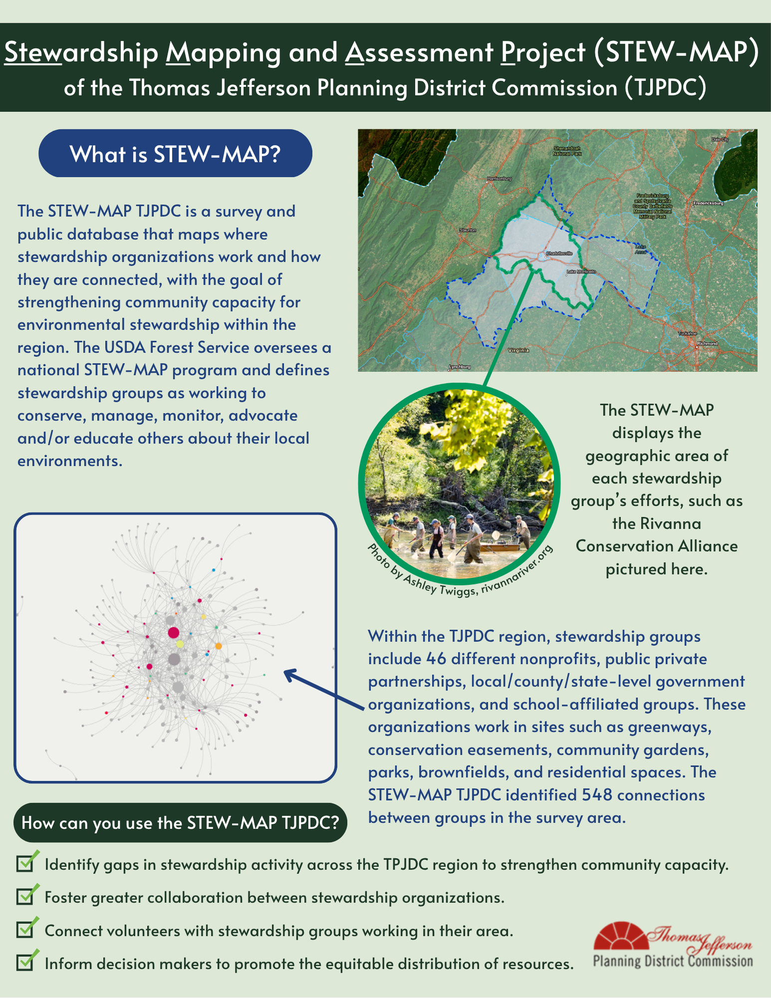
The Stewardship Mapping and Assessment Project (STEW-MAP) of the Thomas Jefferson Planning District is a survey and public database that maps where stewardship groups work and how they are connected, with the goal of strengthening community capacity for environmental stewardship within the region. Stew-MAP was first developed by the USDA Forest Service in New York in 2007. Since then, the framework has utilized from Seattle to Beijing. Each project is conducted separately by a local research team in partnership with local agencies and organizations.
STEW-MAP addresses the questions:
- Who are the environmental stewardship groups in the region?
- Where do they work, how do they collaborate and what type of work do they do?
- Where are there concentrations of care?
- Where are there gaps in stewardship?
The developers of the STEW-MAP program at the USDA Forest Service define a “stewardship group” as a group that works to conserve, manage, transform, fund or provide in kind material support, monitor, advocate and/or educate others about their local environments. Groups include neighborhood organizations, nonprofits, educational institutions, government organizations, contractors, and others supporting stewardship within the region.
In 2023, TJPDC staff identified environmental stewardship groups in the region and invited them to complete the voluntary 15-30 minute STEW-MAP survey. We asked that one representative from each organization (or one per department for larger groups) complete the survey on behalf of the entire group. As participating stewards provided information about their partner organizations, these newly identified groups were also contacted and invited to take the survey.
The STEW-MAP survey is now closed. However, if your organization is interested in participating in the next survey or if you have any questions, please reach out to iobrien@tjpdc.org.
- Natural resources managers, civic groups and the public are able to understand where environmental stewards are in the region
- Strengthens partnerships among stakeholders
- Helps connect the community with volunteer opportunities
- Strengthens disaster preparedness and response
- Promotes greater community engagement with on the ground stewardship
- Helps stewards develop stronger funding proposals
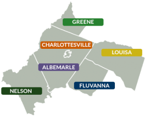 For the TJPDC STEW-MAP Project, the focus is groups working on land and water stewardship within the Thomas Jefferson Planning District.
The Thomas Jefferson Planning District serves these six jurisdictions by providing regional vision, collaborative leadership, and professional services which include planning, technical assistance, data gathering, and grant administration.